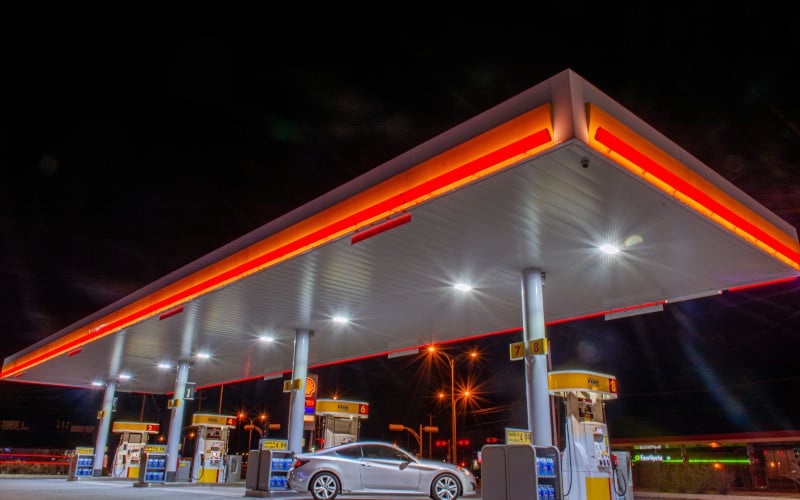
Google Maps is a great resource for finding the nearest gas station. Whether you’re on a road trip and running low on fuel, or just need to fill up your car before heading home, Google Maps can help.
In this step-by-step guide, we will show you how to find the nearest gas station on Google Maps using your desktop computer or mobile device.
Let’s get started!
Steps to Find the Nearest Gas Station:
Step 1: Open Up Google Maps
Open up Google Maps on your desktop computer or mobile device.
Step 2: Search for a Gas Station
In Google Maps, click on the icon. A list of gas stations near you will be shown.

An alternative option is to enter “gas stations” into the search bar at the top of the page, then click on one that appears nearby.
If you are using a mobile device, tap “Search” from within Google Maps, then type “gas stations” and press “Search“.
Step 3: Select a Gas Station
A list of gas stations will appear on the map. You can zoom in or out to see more or less detail, and you can also drag the map around to view different areas.
Step 4: Get Directions
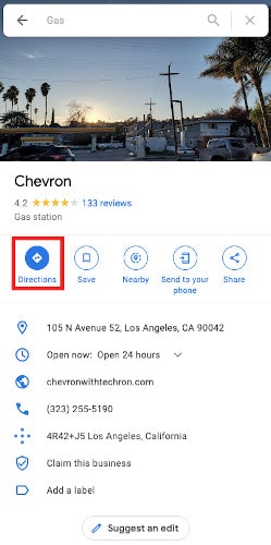
Click on a gas station icon to see its address, opening hours, reviews, ratings, and more. You can also click on the “Directions” button to get directions from where you are now to that particular station.

If you are using a mobile device, tap on the gas station icon to see its address, opening hours, and more. You can also tap ‘Directions’ to get directions from where you are now to that particular station.
That’s it! Now, all there is left for you to do is fill up your tank and hit the road.
Conclusion
We hope this guide was helpful! If you have any questions or feedback, please feel free to leave a comment below.
Thanks for reading!


